About
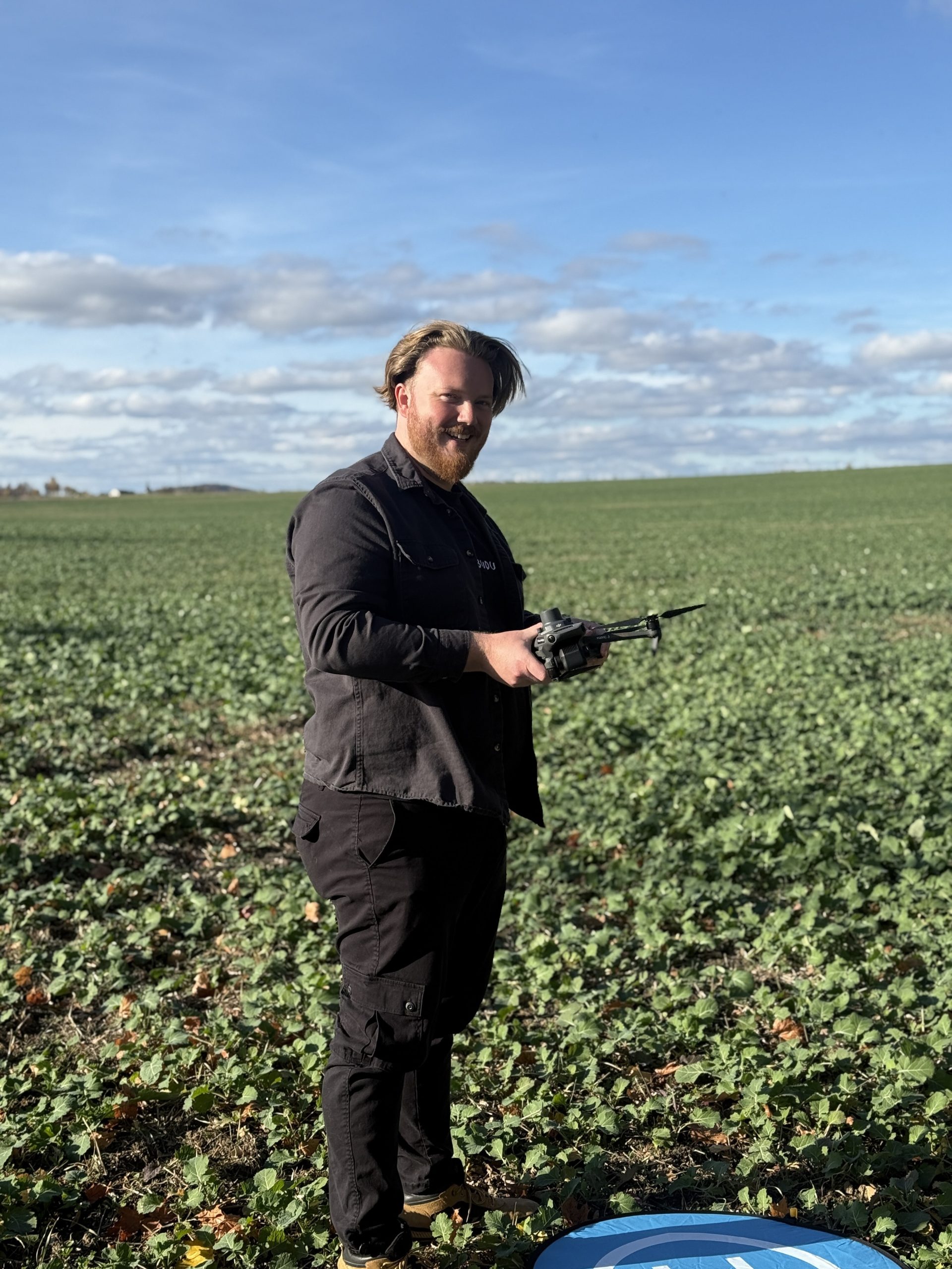
Behind the drone
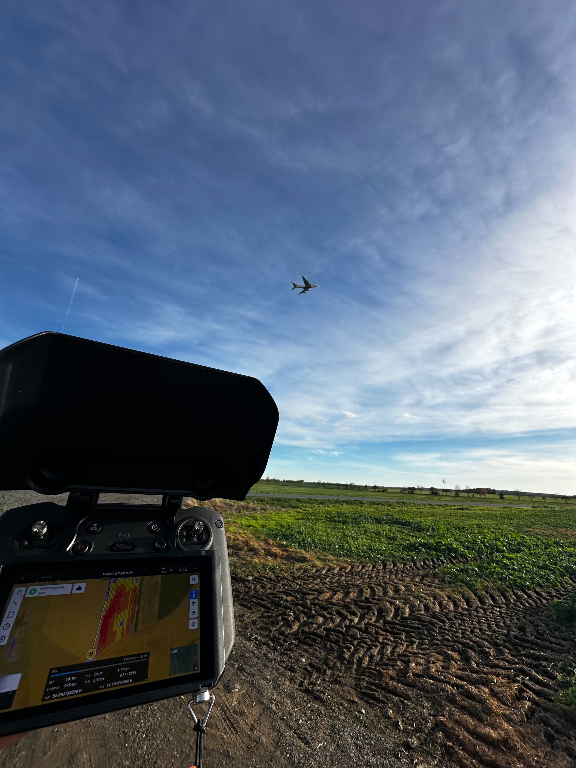
I'm Petr Vejvoda — EASA-licensed drone pilot (A1/A2/A3) and MSc student at CULS Prague and the University of Hohenheim, specialising in precision agriculture and tropical farming systems.
TerraVista was built on a simple belief: drone data should actually help farmers make decisions, not just look impressive in a report.
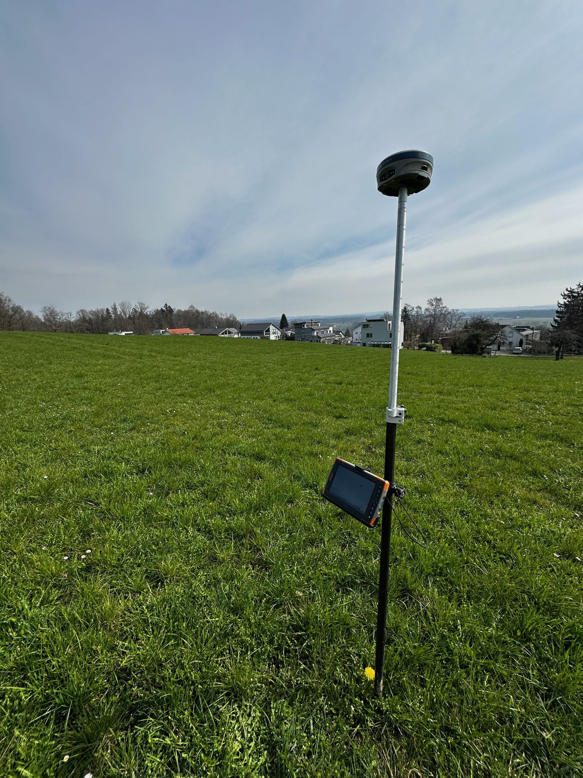
I process orthomosaics, vegetation indices (NDVI, CIRE, NDRE) and 3D models using Agisoft Metashape and Pix4D Fields.
EASA Remote Pilot Licence A1/A2/A3 — valid until 2030
DroneDeploy: Agriculture Analyst, Zero to Hero, Ground Capture, Aerial Capture, Understanding Aerial Accuracy
Agisoft Metashape Professional & Pix4D Fields
MSc CULS Prague + University of Hohenheim (ongoing)